This department has a long and successful history addressing questions concerning the development and history of the Transverse Ranges, Mojave Desert, and local basins to gain a better understanding of the offset history of the San Andreas Fault. This includes unraveling the timing of uplift and strike slip relative to the San Gabriel Mountains and paleogeographic evolution of the San Andreas fault based on cross-fault correlation.
Our current focus is on earthquake behavior and tectonic landscape response in southern California and New Zealand. Through a better understanding of associated natural hazards we can help mitigate risk and promote sustainable decisions.
The Alpine Fault on the South Island of New Zealand is a 900km-long, well-behaved (quasi-regular earthquake recurrence), long-lived, geometrically-simple strike-slip fault that forms an ideal natural laboratory for understanding continental plate-bounding fault systems. A component of reverse motion gives rise to the highly-active Southern Alps orogen (up to 12 mm/yr of uplift, up to 16 m/yr rainfall), which is believed to be a world-class example of a mountain range in dynamic equilibrium.
The San Andreas in California is a considerably more complex fault system exhibiting a wide range of earthquake behavior, slip partitioning, and interaction between multiple fault planes. Despite slightly larger strike-slip rates than the Alpine Fault, uplift rates along the San Andreas rarely exceed 2 mm/yr and rainfall rarely exceeds 1 m/yr. In southern California we have the additional complication of frequent wildfires such that earthquakes, floods, fires, and landslides all must be considered important landscape drivers. Despite lower tempos of landscape change than New Zealand, landscape changes in California can have considerable effects because of the comparatively large population and economic importance. There is much to learn from comparing and contrasting the feedback between tectonics and climate in New Zealand and in California!
For both of the above systems our interests span the depths of both time and space: from long-term rates of uplift and fault motion to the effects of the last earthquake, from the earthquake source at depth to the natural hazards presented at the surface.
Some of the things we do:
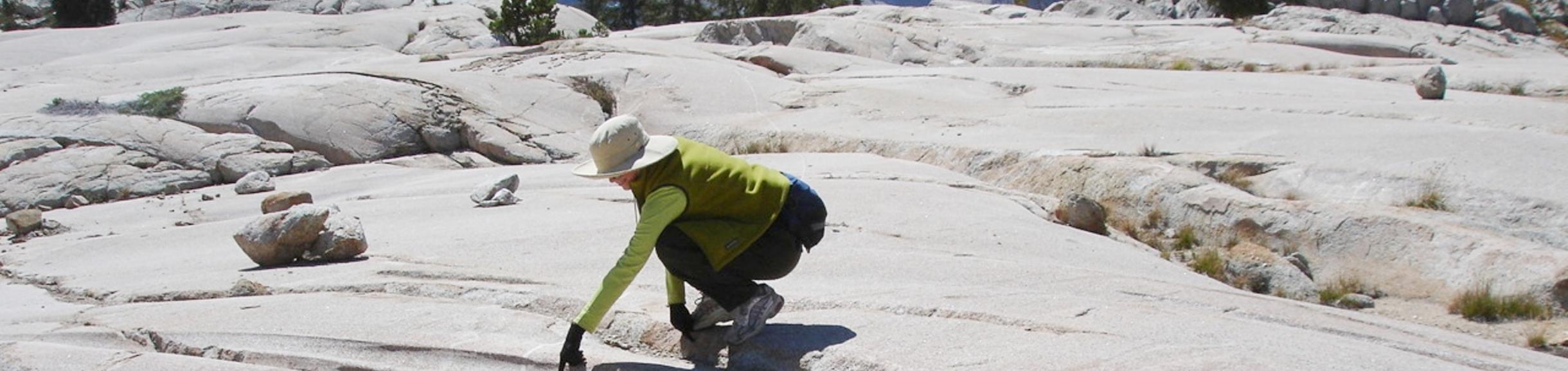
- Perform geological fieldwork to map geomorphic features (fault traces, landslides), document the anatomy of fault rocks exhumed from depth to better understand earthquake behavior, and collect geological and geochronological samples for further lab work and analysis
- Utilize high resolution topography (lidar, structure from motion) for geomorphic interpretation and GIS analysis
- Prepare samples for petrographic analysis in electron microscope and geochronologic dating
- Respond to natural disasters to provide timely observations to emergency responders and city officials
- Actively monitor and map mud and debris flows for risk assessment
- Interact with the rest of UCR's Earthquake Processes & Geophysics group to produce geologically accurate numerical simulations
Faculty Involved: Barth, Kendrick, Sadler